
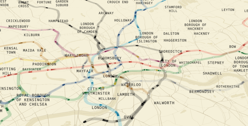
A remarkable new tool is transforming how commuters navigate the capital, with a Live London Underground Map now allowing users to track train movements across the Tube and Elizabeth line in real time.
The interactive online resource offers a dynamic visualisation of London’s transport network, displaying the current positions of trains across all lines.
With the Live London Underground Map, users can zoom in and out of the city, effortlessly exploring routes. By hovering over a moving train, viewers are shown the train’s precise location along its route, as well as the stations it is currently travelling between.
A standout feature of this innovation is the real-time arrival predictions. The tool displays the estimated times the train is expected to reach upcoming stations, giving commuters a clearer idea of their journey progress.
It even goes a step further by showing how close a train is to its next stop via a percentage indicator—100 per cent signifying that it has reached the station.
Further enhancing its accuracy and usability, the map includes:
- Latitudinal and longitudinal coordinates for every station
- The model name of each train
- A detailed visualisation of tunnel depths across the network
The map was developed by engineer and writer Ben James, who brought the concept to life by integrating multiple data sources.
“It uses a variety of data sources including TfL live updates, station locations as well as the depths of London Underground tunnels through a Freedom of Information request.”
This unprecedented level of transparency and functionality is expected to revolutionise how Londoners and visitors engage with the Underground system. With its sleek interface and detailed data, the Live London Underground Map is a prime example of how technology can simplify urban commuting.